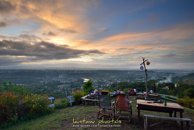
This blog is an amateur photographer's attempt to show how beautiful the world really is.
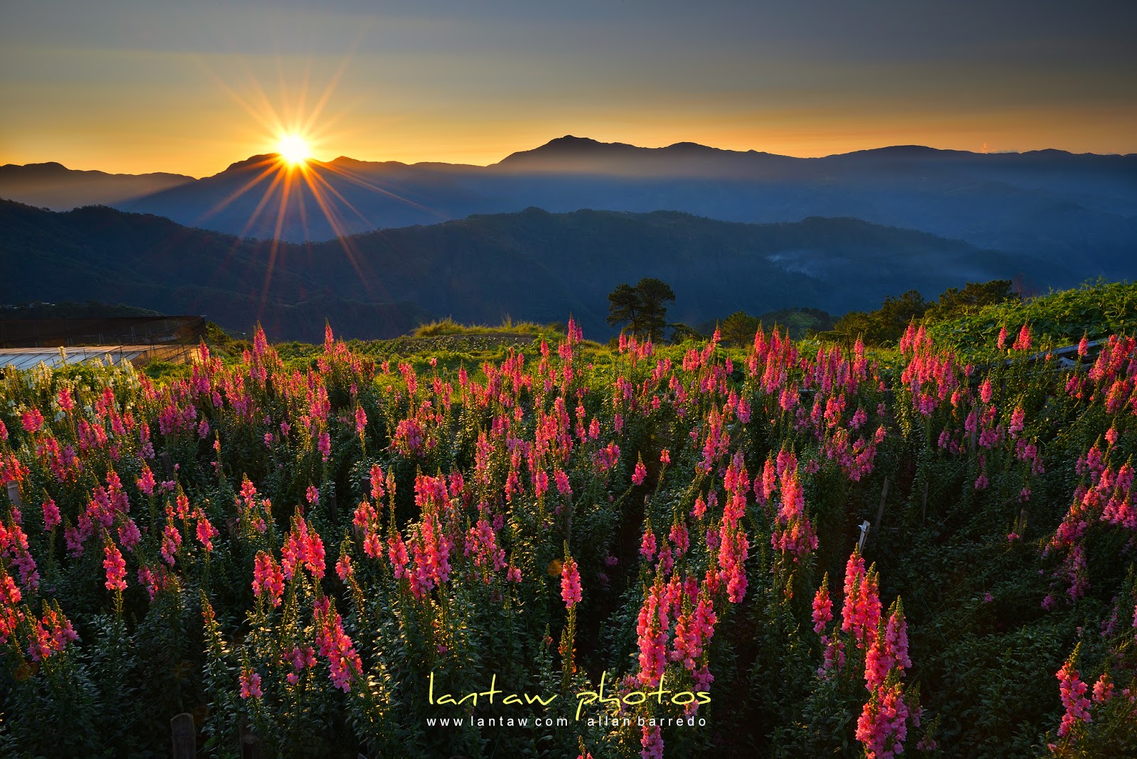
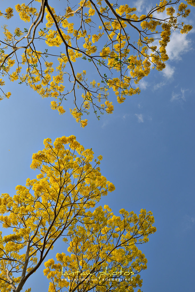
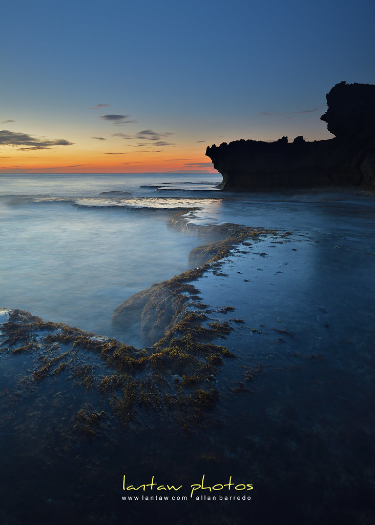
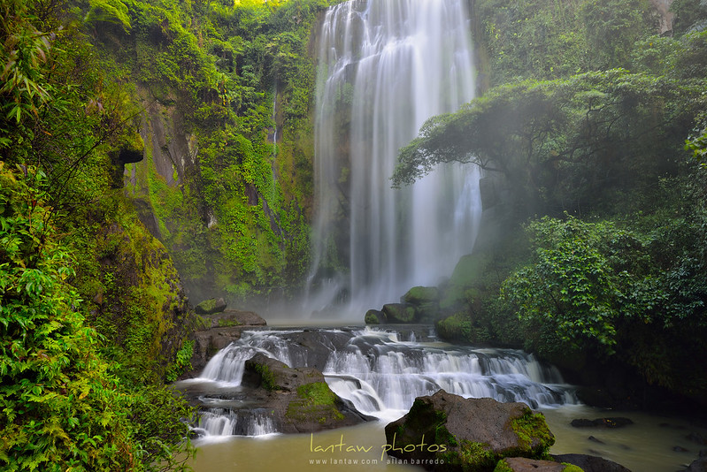
He is drawn to the colors of nature like a moth to a candle light. What are showcased here are nature's grand display of colors at sunrise and sunset, beautiful beaches and off-the-beaten track locations in his beloved Philippines, waterfalls and some of nature's great sculptures, architectural gems, and other views from around SE Asia that he was fortunate to see at one point.
The Philippines - one nook at a time. This blog showcases outdoor and travel photos from off-the-beaten-path locations. You'll see here photos of unspoiled beaches, mystical waterfalls, and majestic mountains.
The Philippines - one nook at a time. This blog showcases outdoor and travel photos from off-the-beaten-path locations. You'll see here photos of unspoiled beaches, mystical waterfalls, and majestic mountains.
[name=lantaw]
[img=https://c5.staticflickr.com/9/8237/8458831412_c95b7dbbae_t.jpg]
[description=Loves to shoot nature's grand display of colors at sunrise and sunset, beautiful beaches and off-the-beaten track locations in his beloved Philippines, waterfalls and other natural wonders]
(facebook=https://www.facebook.com/lantawphotos)
(twitter=https://twitter.com/lantawphotos)
(instagram=https://www.instagram.com/lantaw/)